Kashmir Shown in Pakistan: Israel Sparks Outrage with Wrong India Map, Later Apologizes for Error

New Delhi (The Uttam Hindu): Israel Defense Force (IDF) shared a map by mistake and displayed India's international borders incorrectly. In this map, Jammu and Kashmir was shown as a part of Pakistan, which led to a sharp reaction on social media. After massive protests, the Israeli army accepted its mistake and formally apologized.
The IDF clarified, "This post was only for regional delineation. There was an error in showing the boundaries in the map, for which we apologize." After the Israeli army's post came out, many Indian social media users expressed anger. An X (formerly Twitter) handle named 'Indian Right Wing Community' tagged the IDF and objected, after which the IDF responded and admitted its mistake.
India has consistently made it clear that Jammu and Kashmir and Ladakh are its integral parts. Some parts of these areas have been illegally occupied by Pakistan and China. Prime Minister Narendra Modi also reiterated this recently in the context of the Pahalgam attack and Operation 'Sindoor'.
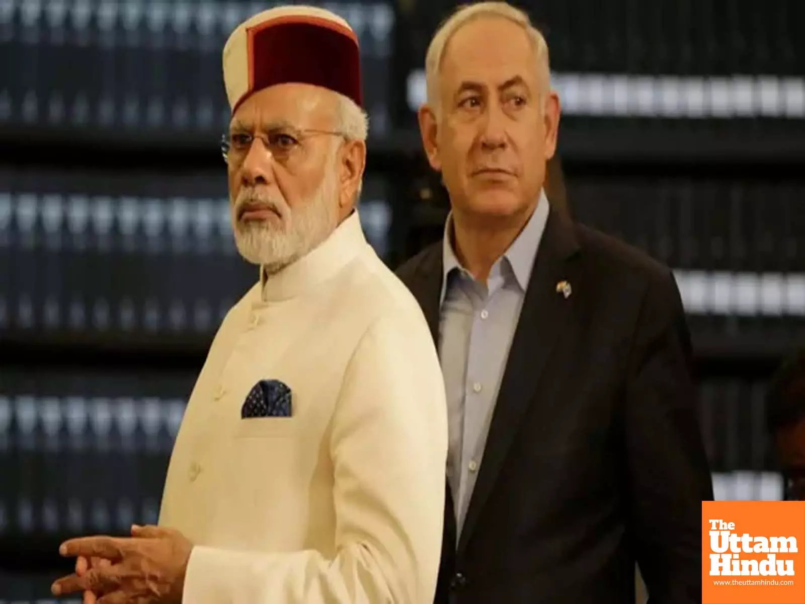
India-Israel relations have grown stronger in the last few years. In 2017, Prime Minister Modi became the first Indian Prime Minister to visit Israel. There has been close cooperation between the two countries in the defense, agriculture and technological sectors.
The map shared by the IDF was meant to show the range of potential missile attacks from Iran. It showed the borders of Iran's neighbours and other distant countries such as Saudi Arabia, Libya, Ethiopia, India, China, Russia, Turkey and some European countries. India's border was incorrectly depicted in the map, indicating diplomatic insensitivity.
